Map Catalog
A Map Catalog for the course GIS3015-02
Wednesday, April 16, 2014
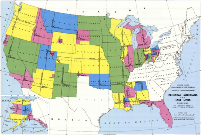
PLSS map
The PLSS maps were the first type of cadastral map ever created in the United States or even any modern country. It has been readily updated over the past couple hundred years or so.
http://en.wikipedia.org/wiki/Public_Land_Survey_System
No comments:
Post a Comment
Newer Post
Older Post
Home
Subscribe to:
Post Comments (Atom)
No comments:
Post a Comment